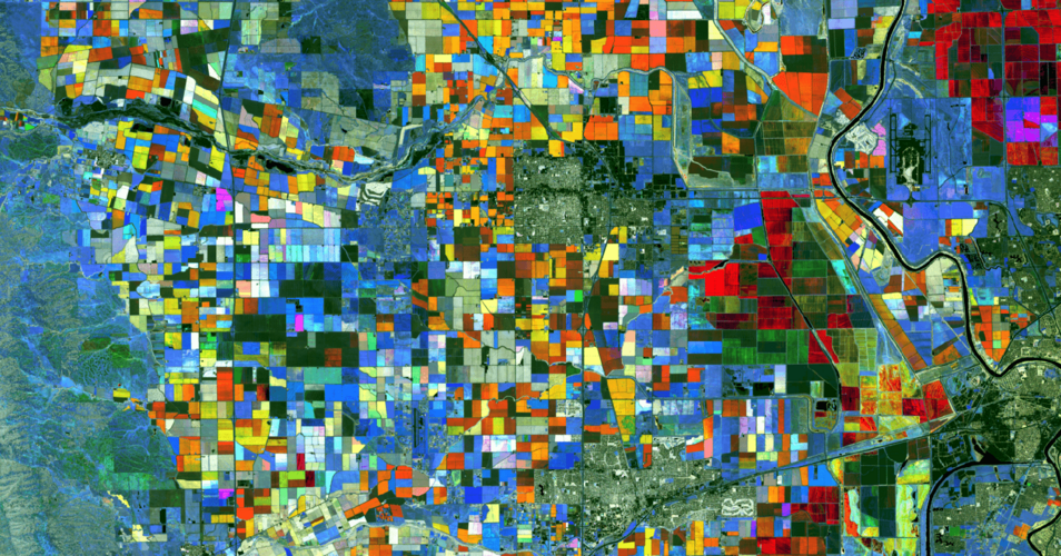
This master’s degree programme is primarily research and method-oriented. The programme of study provides comprehensive knowledge of environmental data science and remote sensing technologies and methods as well as various areas for specialisation and application. The aim of the degree programme is to train a new generation of earth system scientists who are prepared for the challenges of a data-rich world from the very beginning.
At a glance
-
Field of study
natural and earth science -
Degree type
postgraduate -
Degree
Master of Science -
Language of instruction
English -
Full/part-time
full-time, part-time -
Course start
winter semester -
Admission restriction
national admission restriction -
Standard period of study
4 semesters
-
ECTS credits
120
Requirements
The following certificates are required for the “Earth System Data Science and Remote Sensing” international master’s degree programme:
- Bachelor’s degree in an earth science, natural science, environmental science or computer science and data science-related degree programme, whereby
- At least 35 credits must come from one or more of the following areas: geography, earth system sciences, earth sciences, environmental sciences, life sciences, data science, ecoinformatics, remote sensing or geographic information systems (GIS)
Furthermore, the following knowledge must be demonstrated:
- Prior knowledge in statistics (at least 5 credits)
- Prior knowledge in a scripting language for computational science or a higher programming language (for example, Python, R, Julia, ...)
- Knowledge of English at B2 level of the Common European Framework of Reference for Languages
Contents
The international M. Sc. degree programme is taught in English and requires prior knowledge of a scripting language for computational science or a higher programming language due to its methodological orientation. The remote sensing and data science methods covered are dealt with exhaustively and practically applied via a theoretical introduction in exercises and seminars. This includes exercises on the computer as well as field work. Parallel to the methodological training, you will also gain specialised, domain-specific knowledge in an area of application of your choice from environmental, earth or life sciences (for example meteorology, climatology, biodiversity research or subareas of geography). The goal of the degree programme is for you to acquire an important foundation in the fields of optical remote sensing, spectroscopy, radar remote sensing, lidar data collection and evaluation or radiative transfer modelling. The practical relevance of the degree programme is established in the third semester through a research and professional internship.
Through additional, science-centred modules such as “Scientific Writing & Presentation” and “Research Data Management & Ethics”, you will learn essential academic business techniques, which are essential for the conceptualisation and implementation of independent research projects. Furthermore, you will acquire skills for carrying out the accompanying field measurements and observations and the expertise for presenting data and results. This will prepare you for your master’s thesis in a research-related environment as well as a potentially subsequent doctorate.
The degree programme works to train with you the next generation of earth system scientists, who have a range of skills that balance expertise in earth and environmental sciences, programming skills and quantitative methods with a focus on state-of-the-art remote sensing technology.
In the first semester, a common knowledge base is created on which further education expands. This is done in introductory lectures that bring everybody to the same level of knowledge (Angleichungsmodulen – compulsory elective, total 10 credits).
The methodology-oriented modules in data science and remote sensing, which are taught in the second and third semesters in particular, then serve as the key component of the degree programme. These amount to 40 credits. They include
- Quantitative methods of multivariate statistics
- Time series analysis
- Geoinformatics and geostatistics, as well as
- Machine learning and artificial intelligence
In addition, the modules cover earth observation techniques such as optical remote sensing, spectroscopy, radar and lidar remote sensing and the necessary field techniques and modelling of radiative transfer.
Possible areas of application include subareas of environmental, earth and life sciences such as the sub-disciplines of geography, biodiversity research, meteorology, and climatology as well as geology and geophysics. In order to create and expand on the required knowledge base in the chosen areas of application, elective courses in related subjects (for example, geography, biology, meteorology, geology, etc.) amounting to 20 credits must be included in the first two semesters. This allows you to specialise in one or more areas of application of your choice.
A laboratory course and professional practical training of 10 credits also deepens the practical application and allows you to enter the chosen area of application.
An ethics and research management module must also be taken for critically reflecting on methods and applications. In addition, soft skills for academic work are taught in other parallel courses.
The overall concept of the degree programme with method modules that build on each other and a freely selectable specialisation in one of the aforementioned areas of application leads to a greater consolidation of the respective research topic and, therefore, firmly encourages independent and interdisciplinary thinking and acting by you as early career researchers.
Thanks to the existing close cooperation with research institutions outside of the university, notably the Helmholtz Centre for Environmental Research (UFZ), the German Centre for Integrative Biodiversity Research (iDiv) and the Max Planck Institute for Biogeochemistry, Jena, you will be introduced to a vast research network and experience very diverse learning opportunities.
- Closely connected with the Leipzig-based Remote Sensing Centre for Earth System Research (RSC4Earth)
- Close cooperation with research institutions outside of the university, notably the Helmholtz Centre for Environmental Research (UFZ), the German Centre for Integrative Biodiversity Research (iDiv) and the Max Planck Institute for Biogeochemistry, Jena
- The degree programme offers an intersection to offers at the Universities of Jena and Halle within the Halle – Jena – Leipzig university network
- Internationalisation through a professional and research internship worth 10 credits, which can be completed as an internship abroad, among other things
After successfully completing the degree programme, graduates have the following employment prospects, including:
- Jobs at research institutions that focus on environmental and earth sciences, data science and remote sensing
- Teaching and training in the environmental sciences
- Consulting work
- Work at planning and engineering offices
- Work in data analysis
- Work at national and international governmental organisations and in the public service
- Work at non-governmental organisations (NGOs)
- Companies in the field of data science, remote sensing, big data analytics, etc.
In the third semester, you must complete a laboratory course module that amounts to 10 credits. This helps you to acquire practical experience and form professional networks outside of the university. In particular, the close cooperation with the Helmholtz Centre for Environmental Research (UFZ) as part of RSC4Earth offers direct access to the UFZ.
Furthermore, lecturers will help you to arrange laboratory courses in other areas of work and employment.
Application
Application as a first-semester student
Course start: winter semester
Admission restriction (NCU): yes
Application period: 2 May – 31 May
Application portal: AlmaWeb
Please make sure you note our further information on the pages “Online application” and “Applying for a master’s programme”.
International students can find information about application periods and how to apply on the “International” page.
Options in summer semester: 2nd semester – without restrictions on admission
Options in winter semester: 3rd semester – without restrictions on admission
Application period for the summer semester: 1 December – 15 March
Application period for the winter semester: 2 May – 15 September
Application portal: AlmaWeb
Special enrolment requirements: credits form (Anrechnungsbescheid)
Further information can be found on our page “Applying for a higher semester of study”.
International students can find information about application periods and how to apply on the “International” page.


